
Williams Canyon
Legacy Page: Due to Waldo Canyon Fire and subsequent flooding this trail is no longer available.
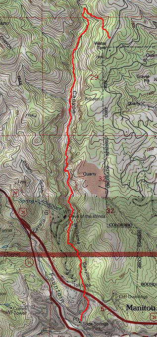
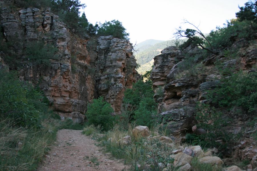
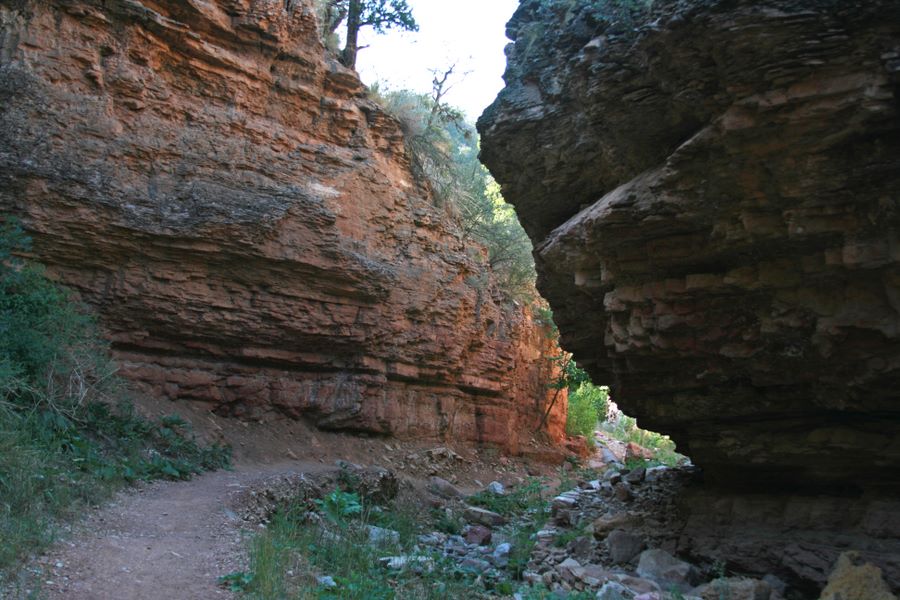
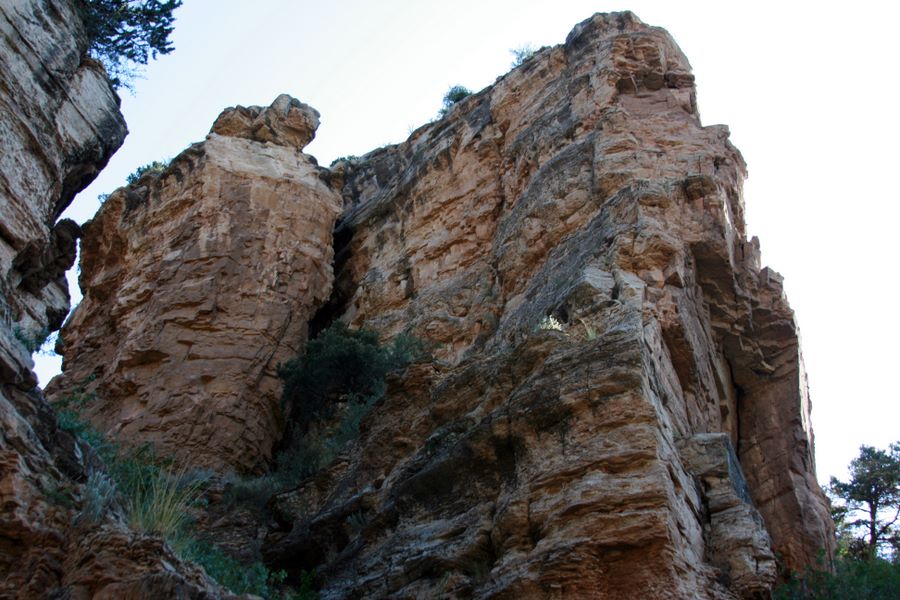
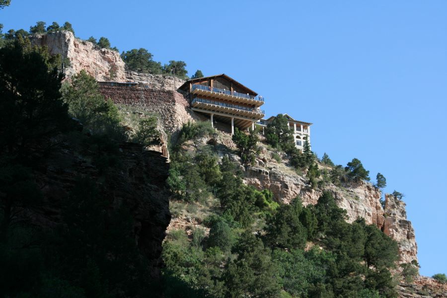
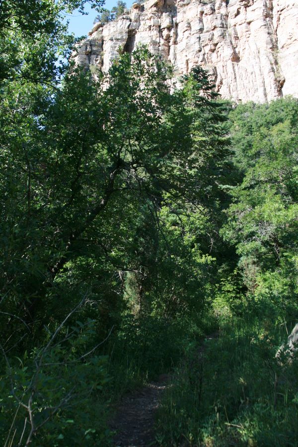
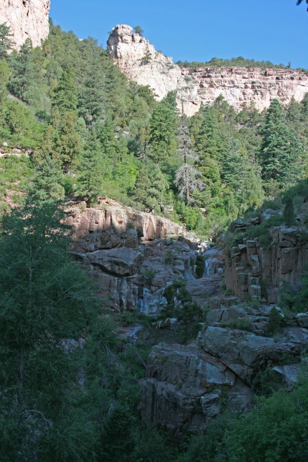
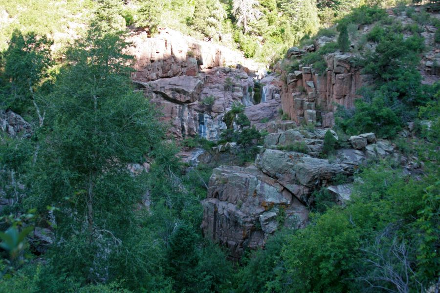
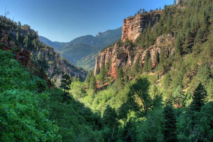
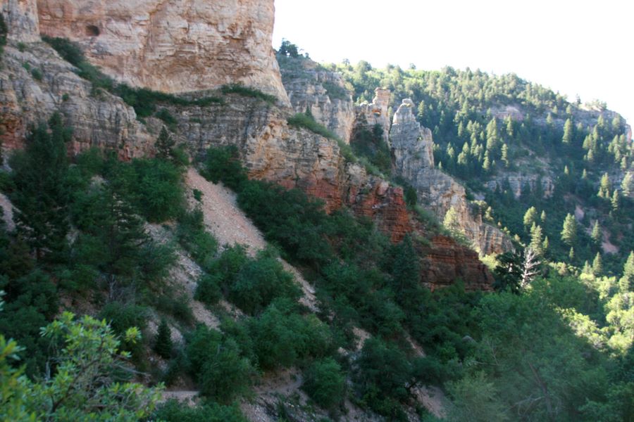
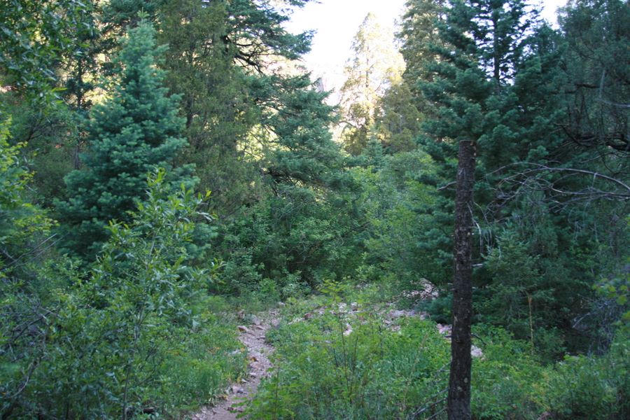
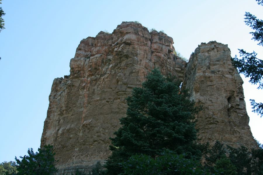
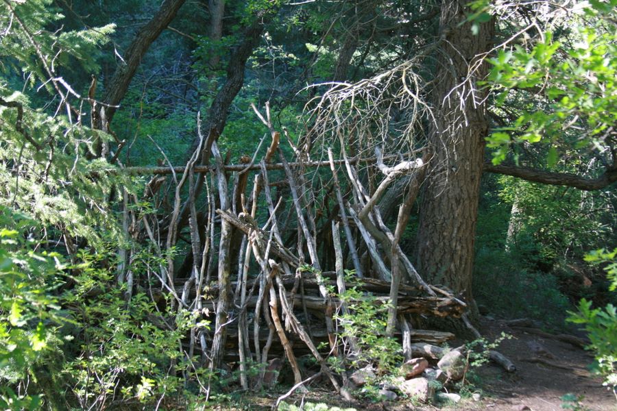
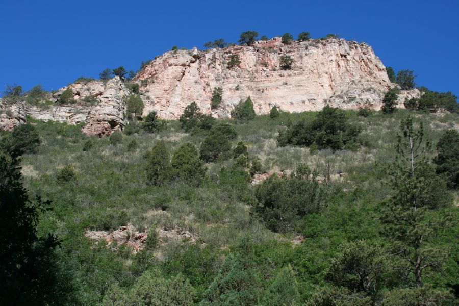
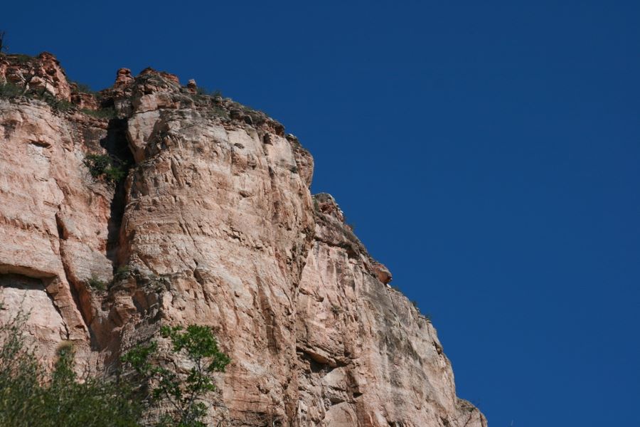
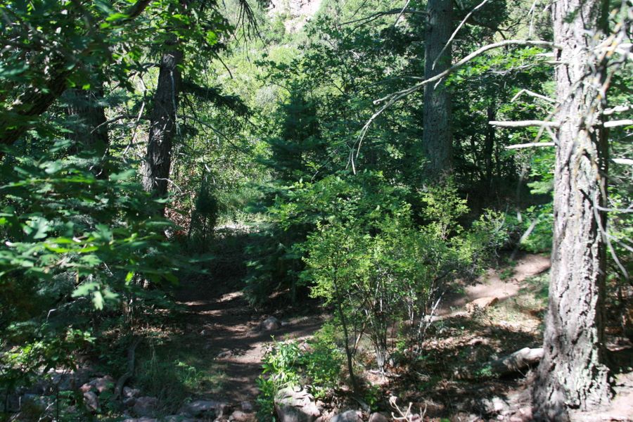
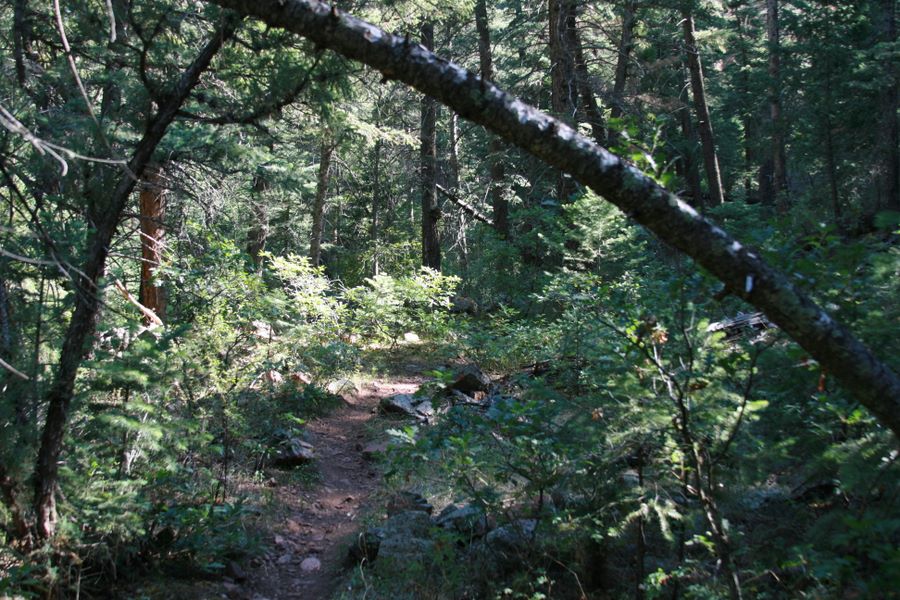
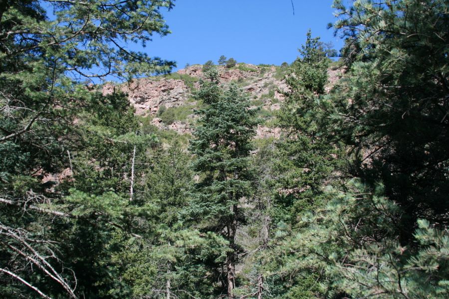
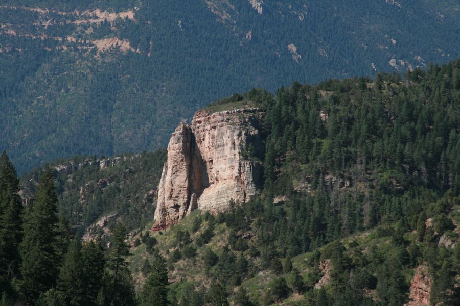
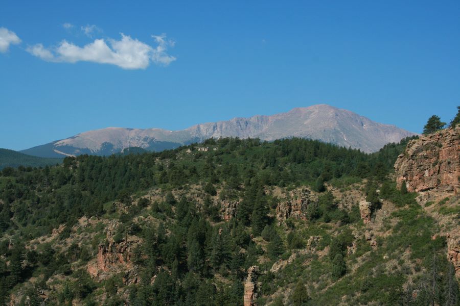
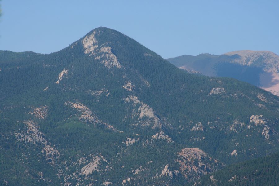
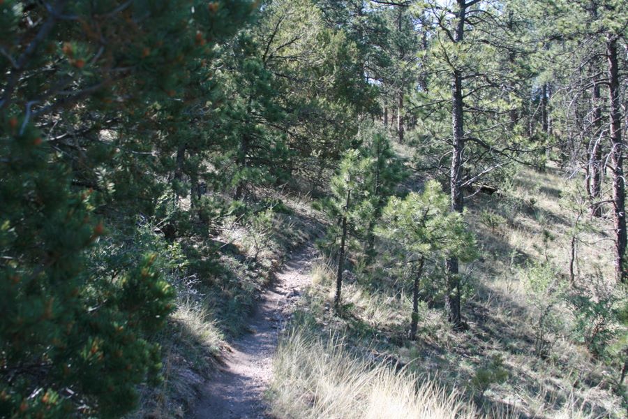
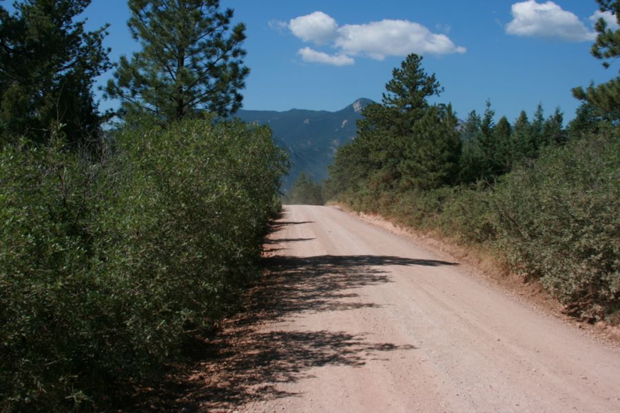
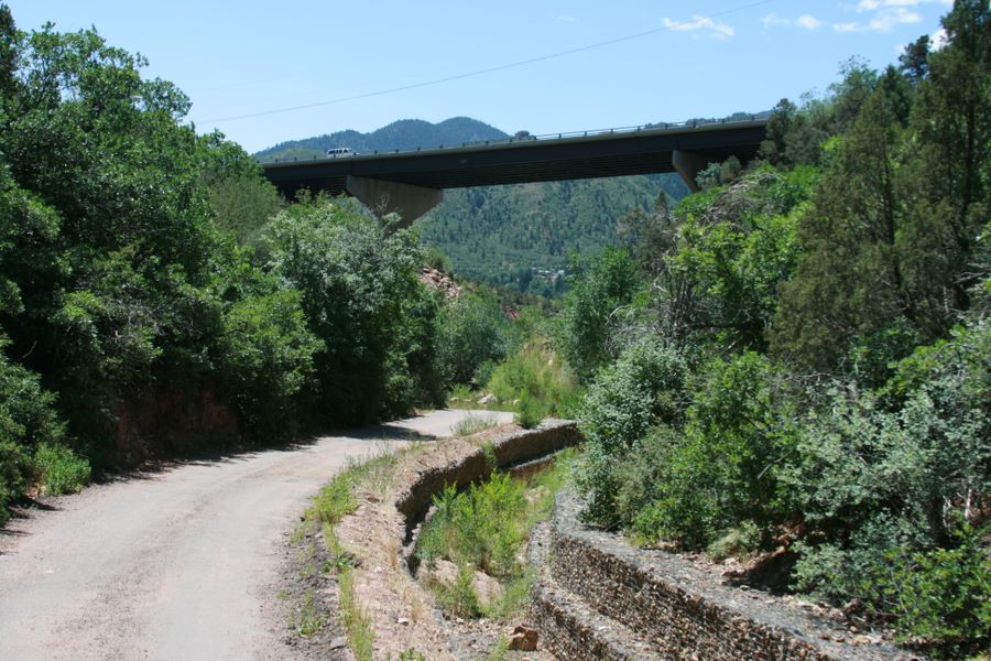
William canyon is located just north of Manitou Springs. To start the hike it's best to park in Manitou Springs and continue north on Canon Ave. Shortly after you pass under the US-24 bridge you will reach Cave of the Winds property with No Trespassing sign. You should sign the waiver at the Cave's entrance before going this way. The trail continues underneath tall limestone canyon walls on both sides. After a while you will reach series of small waterfalls with great view south out of the canyon. Continue further north along the creek. Later on, a spur trail connects Williams Canyon to Waldo Canyon to the west. From this point the trail continues for another 1.3 miles eventually climbing out of the canyon and meeting with Rampart Range Road. Final section of the trails offers outstanding views of Pikes Peak, Cameron Cone and other mountains. The shooting range located at the end of the trail is currently closed so it's safe to hike the entire length of the canyon.
Directions: Take US-24 west to Manitou Springs. Find a parking spot downtown. Take Canyon Ave north to reach Williams Canyon's Entrance.
Length: 3.1 miles from the end of Cascade Ave to Rampart Range road.
Difficulty: Medium
Interactive full screen map:

Download the gpx file:
(Universal GPS file format)
(Universal GPS file format)
Open in Google Earth:
(Trail track and photos)
(Trail track and photos)
Topo Map (Cascade):
(USGS 7.5' quads PDF)
(USGS 7.5' quads PDF)
View photos in Picasa:
(Online photo album)
(Online photo album)
Links:
Enter your start address:
Photos taken on 7/13/2008