South Slope Recreation Area
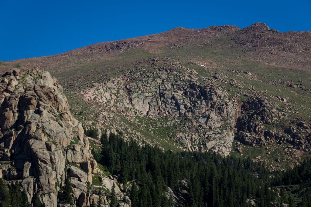
South Slope Recreation Area encompasses three reservoirs on the south side of Pikes Peak. Owned by the Colorado Springs Utilities it finally open to public in fall of 2014. While popular primarily with fishermen it contains two hiking trails that are worth a visit for the beautiful views of the rarely seen south side of Pikes Peak and the pristine reservoirs. The area is open by permit only. For more information please see the city website.
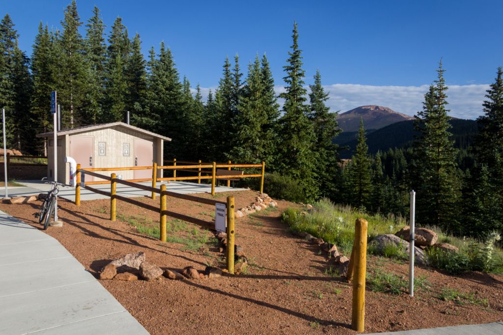
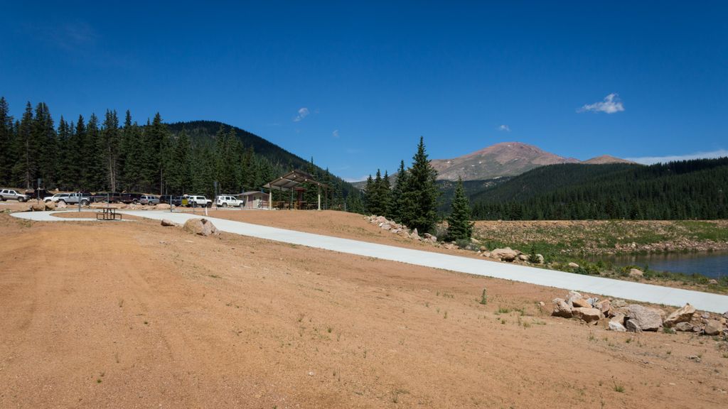
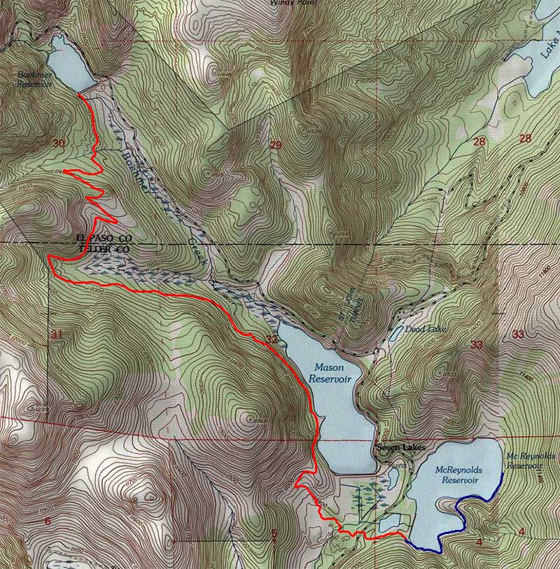
Both trails start at the parking lot by the McReynolds Reservoir.
Mason Trail
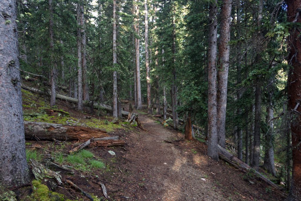
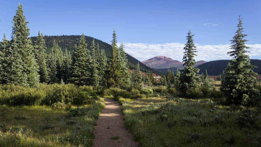
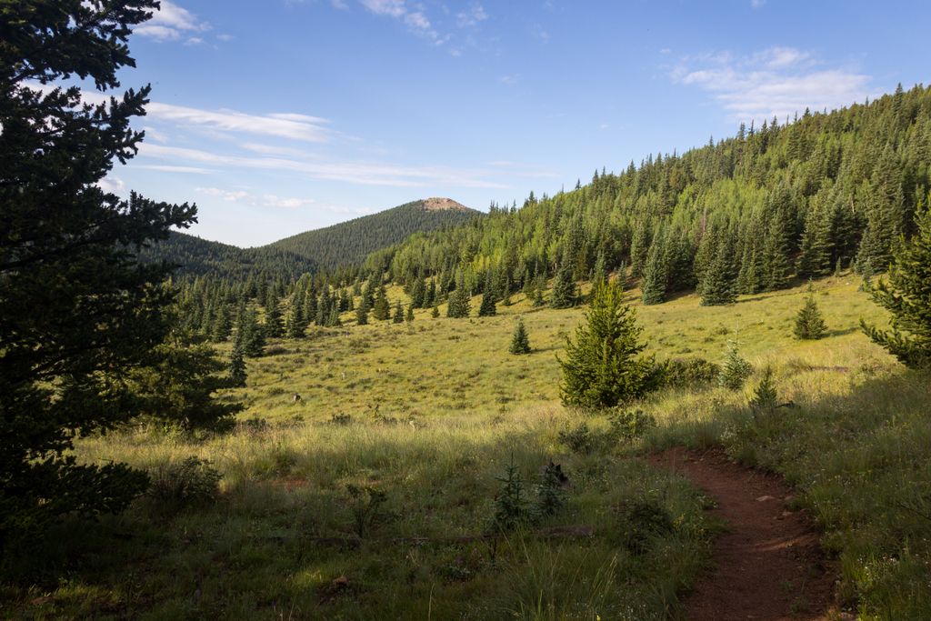
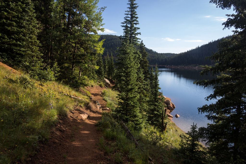
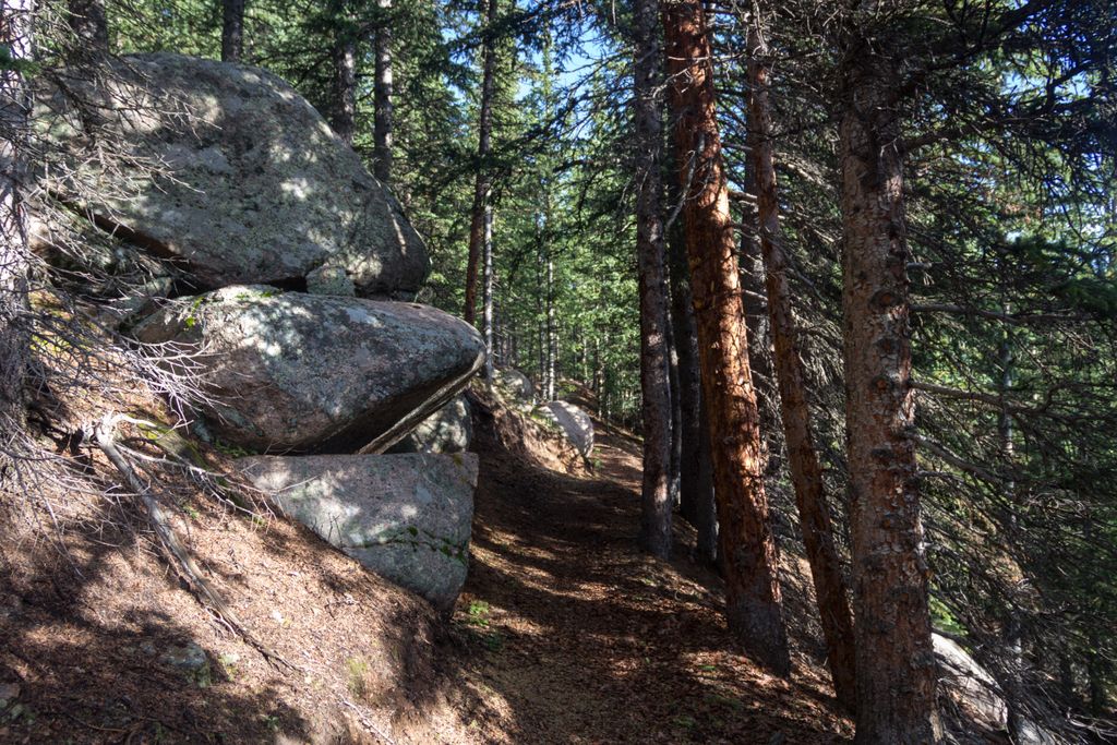
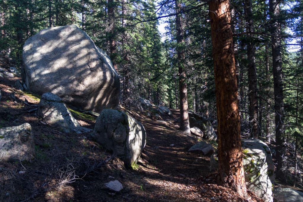
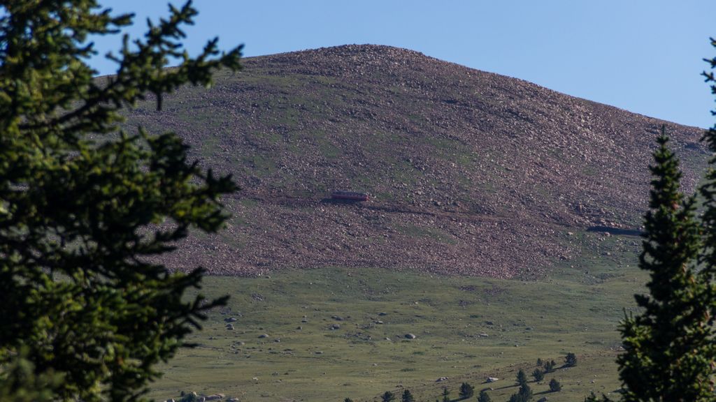
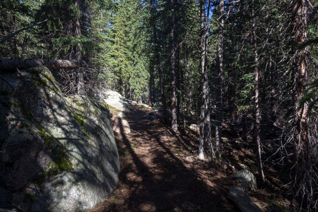
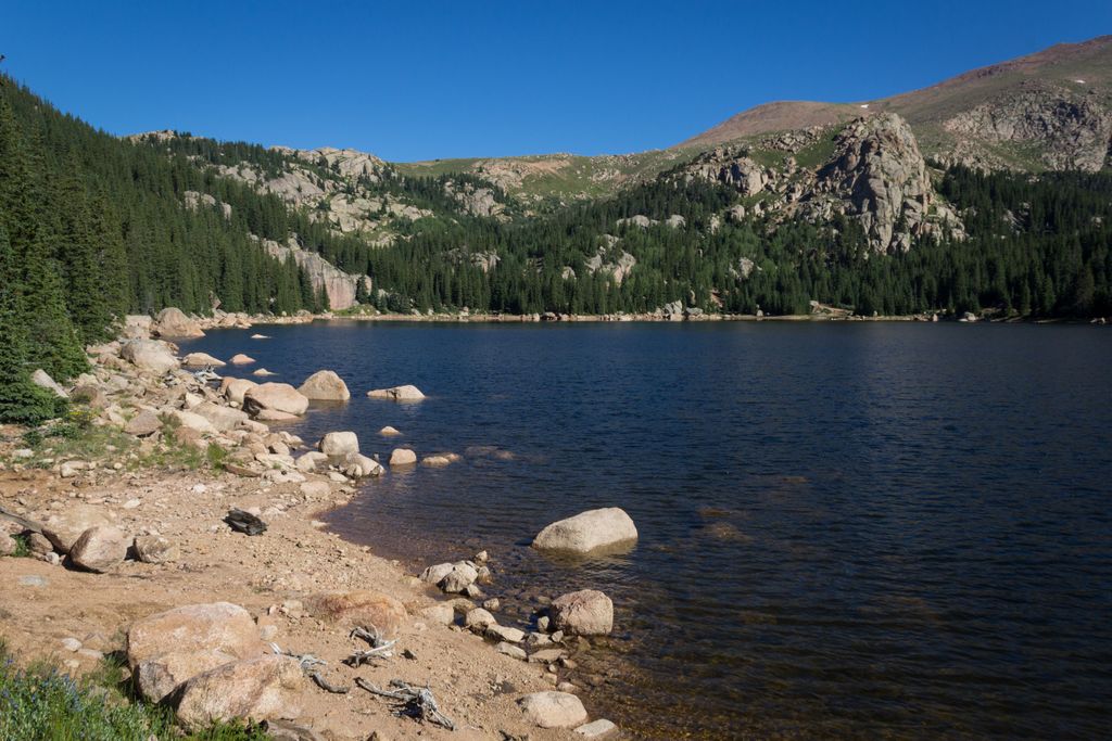
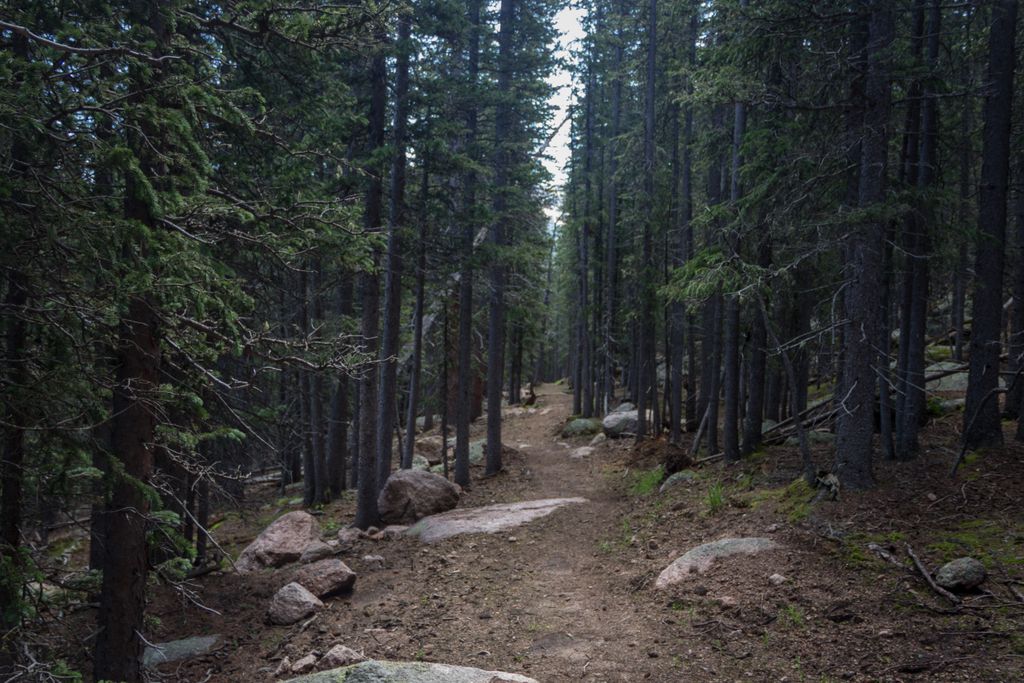
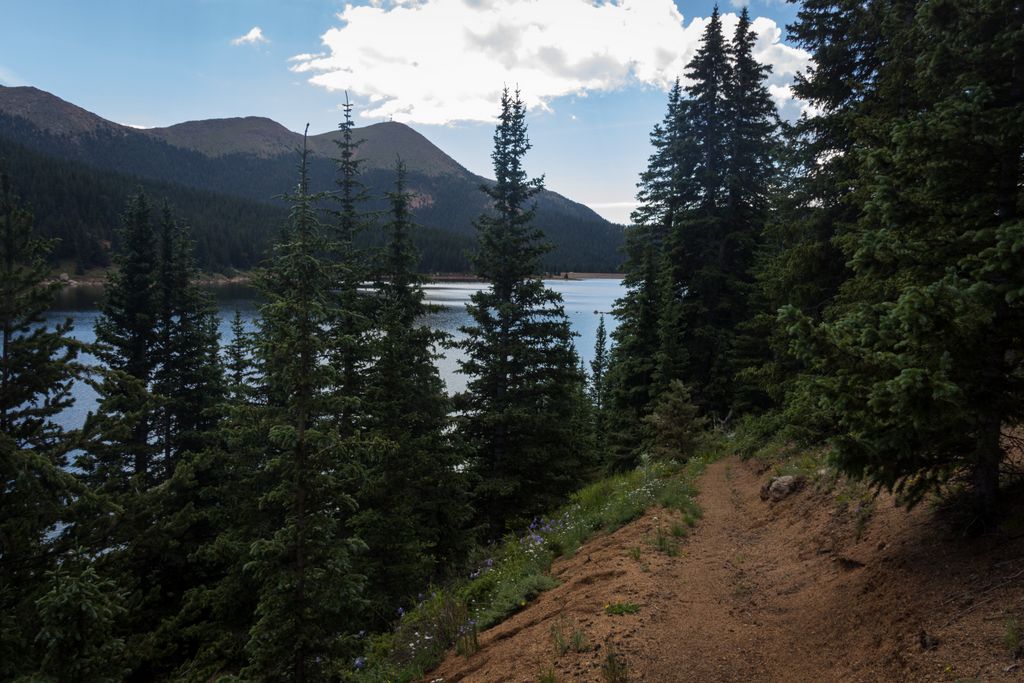
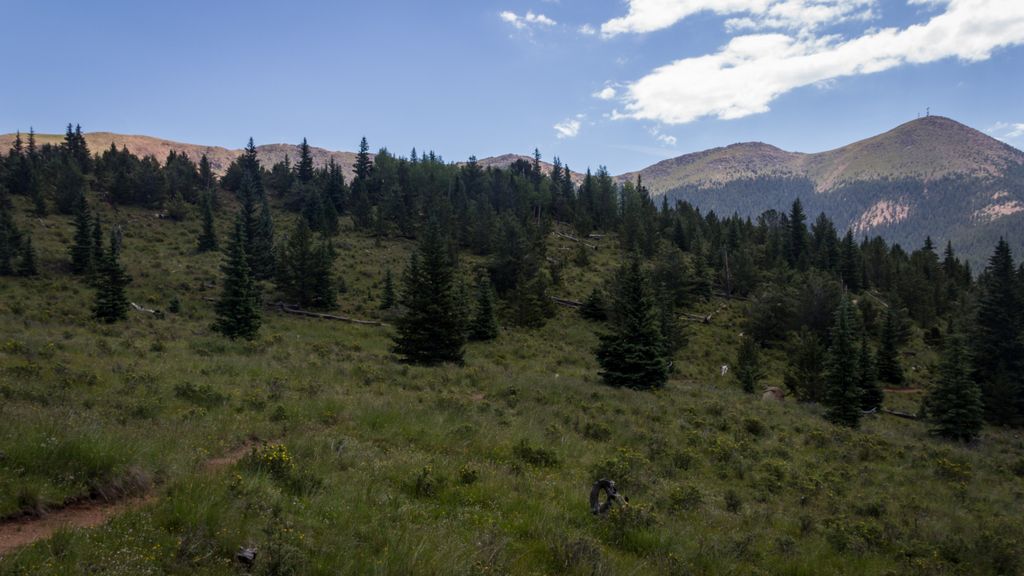
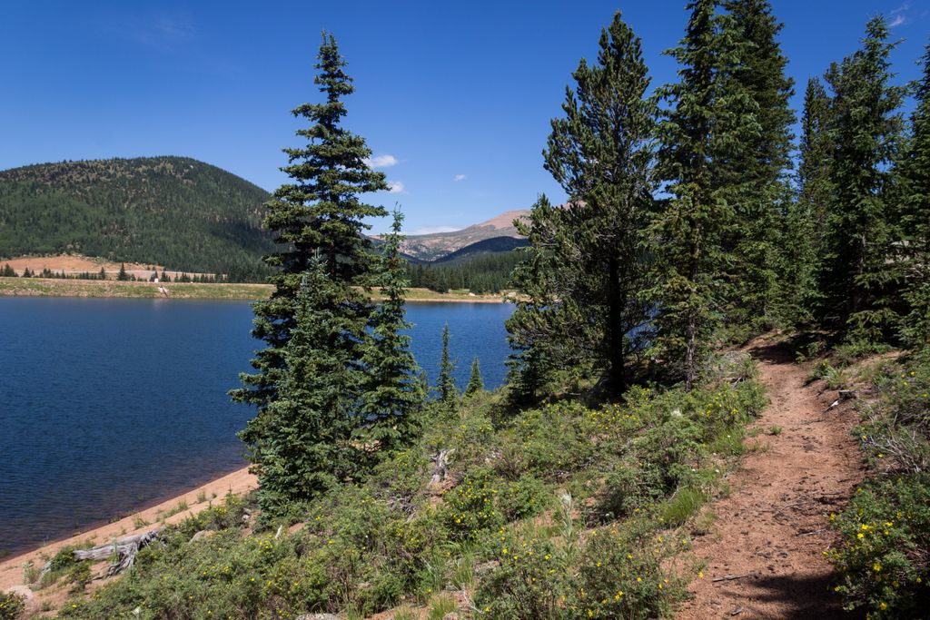
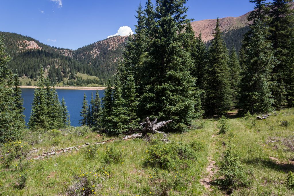
Mason Trail is the longer trail and it takes you up to the beautiful Boehmer Reservoir. Starting from the trailhead you soon cross the Utilities road and climb through an open meadow to the Mason Reservoir. The trail follows the reservoir and then continues north. Most of the trail is in the forest with occasional view opening up to the right. At few spots you can see the Cog Rail making its way up by the Windy Point. A little after 3 miles you climb a small ridge via a few switchbacks. After you reach the highest point of the trail descent the remaining 0.9 miles down to the Boehmer Reservoir. Enjoy the solitude and beautiful views all around.
McReynolds Trail
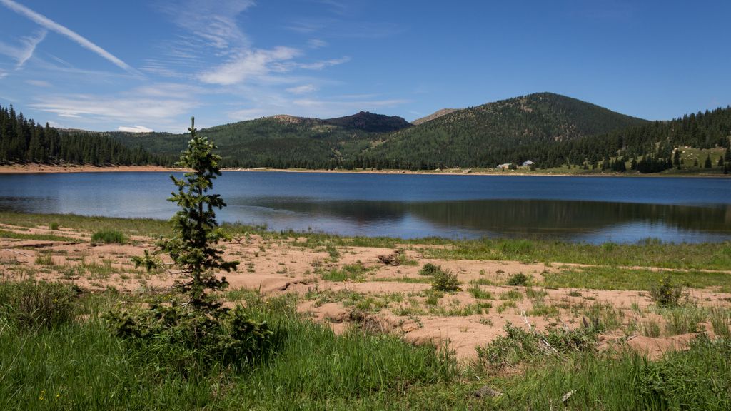
McReynolds Trail is a short trail that takes you along the southeastern shore of the McReynolds Trail. From the parking lot walk around the picnic table and towards the trees on the south side of the reservoir. The trail follows the south side of the reservoir and then turns north through the trees along the shore. The trail ends on the eastern shore where you can take a break at the picnic table with nice views.
Regulations: The area is open by permit only. The fee is $15 per vehicle.
Distance: Mason Trail: 9.3 miles roundtrip. McRenolds Trail: 2 miles roundtrip.
Directions: Take US 24 west and turn left at the traffic light in Divide. Drive 13.3 miles and then turn on CR 81. Drive 3 more miles and then turn on to Gold Camp Road. From now on this is a rough dirt road and high clearance vehicle is recommended. Drive 7.4 miles and then turn left to Forest Service Road 376. Drive approximately 3.5 miles to the gate at the South Slope entrance.
Map
Gallery
Comments: Have you hiked this trail? Please leave your review / comments / updates or photos.
Additional Resources
- GPX File
Universal GPS Format - KMZ File
For Google Earth - Full Screen Map
Trail Map and Photos - Topo Map
Topographic Map - Google Photos
External Image Gallery - Directions
Directions to the trailhead - Geocaches
Nearby Geocaches